3D civil engineering model
Laser scan and 3D Revit model created to engineering tolerances of Heath Town footbridge, as part of the council's residential regeneration programme
Read this case study
Our expert survey team was commissioned by Poise Group to undertake site surveys of 13 car parks operated by National Rail.
Scroll
Gathered using total stations, GNSS, ground penetrating radar (GPR) and HD laser scanners, the data we delivered enabled the successful installation of EV (electric vehicle) charging points in major train station car parks across the UK, from London to Liverpool.

Poise Group is one of the UK’s leading engineering consultancies, providing multi-disciplinary design and project management services to rail, construction and energy-related sectors.
New to the UK market, Ionity contracted the team at Poise Group and the electric vehicle services department at Centrica to manage the installation of new electric vehicle (EV) charging points – and the onsite substations which supply them – in a range of National Rail carparks throughout the UK.
The project utilised low voltage chargers which have significant benefits when installed outside, including requiring less space and having lower initial and lifetime costs compared to higher voltage alternatives.
The initial pilot project was conducted at Manchester Piccadilly station to gain a comprehensive understanding of the site, before being rolled out across a total of 12 locations efficiently and cost effectively, within a tight timeline applied by the customer.
The first project was conducted at Manchester Piccadilly, a busy station used by more than 25 million passengers each year.
Around 100 electric vehicle charging points were installed to provide energy for the fast-growing number of electric vehicles used by commuters, designed in and around complex below ground services.
Predominantly installed at ground level with cabling and hardware placed below the surface, charging points were also applied to the third floor of a multistorey car park.

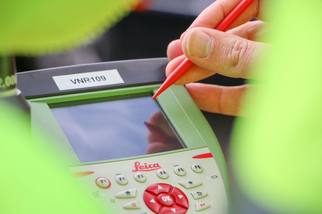
1. Topographic surveys of the site surface within defined boundaries
2. GPR (Ground Penetrating Radar) surveys and utility detection surveys . GNSS (Global Navigation Satellite System) technology receives signals from satellites orbiting the Earth. GPR surveys make use of GNSS signals to determine precise geographic locations. This combined location data assists in identifying structures or obstructions beneath the surface, such as electricity cables, water pipes, drains, and other utilities. Additionally, the data obtained is compared with existing statutory records for comprehensive analysis.
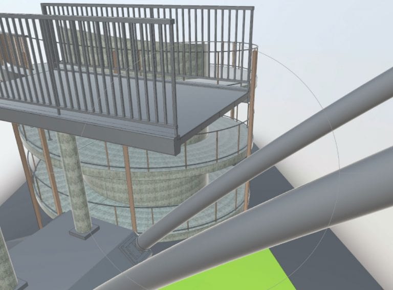
3. 3D laser scanning of structures and terrain to create a point cloud of the existing features across the site.
The data was supplied in various formats to meet Poise Group’s requirements, including .rcs point cloud deliverables and a virtual tour file.
Full colour scans to aid feature identification and additional photography of specific areas of interest, combined to create a comprehensive survey dataset.
Receive reliable topographical surveys to map your site and its features for your development project. We carry out topographical surveys for architects, designers, property professionals and building contractors.
Topographic surveysCADS quickly and accurately delivered all the survey data required to analyse the Network Rail car park sites so Poise could make informed decisions on the design and layout of the EV charging installations.
The comprehensive pilot survey data was gathered and presented to the client including ground conditions, site levels, below ground infrastructure, existing electrical infrastructure and other site limitations. The location of proposed equipment, lighting assessment, cable routing and other detailed design elements were discussed and agreed with the client.
Poise Group applied their project expertise to the survey data to create the electrical and communication elements of the design included the proposed electrical general layout drawings, cable routing, single line diagrams, control schematics and termination wiring schedules, based on manufacturer inputs.
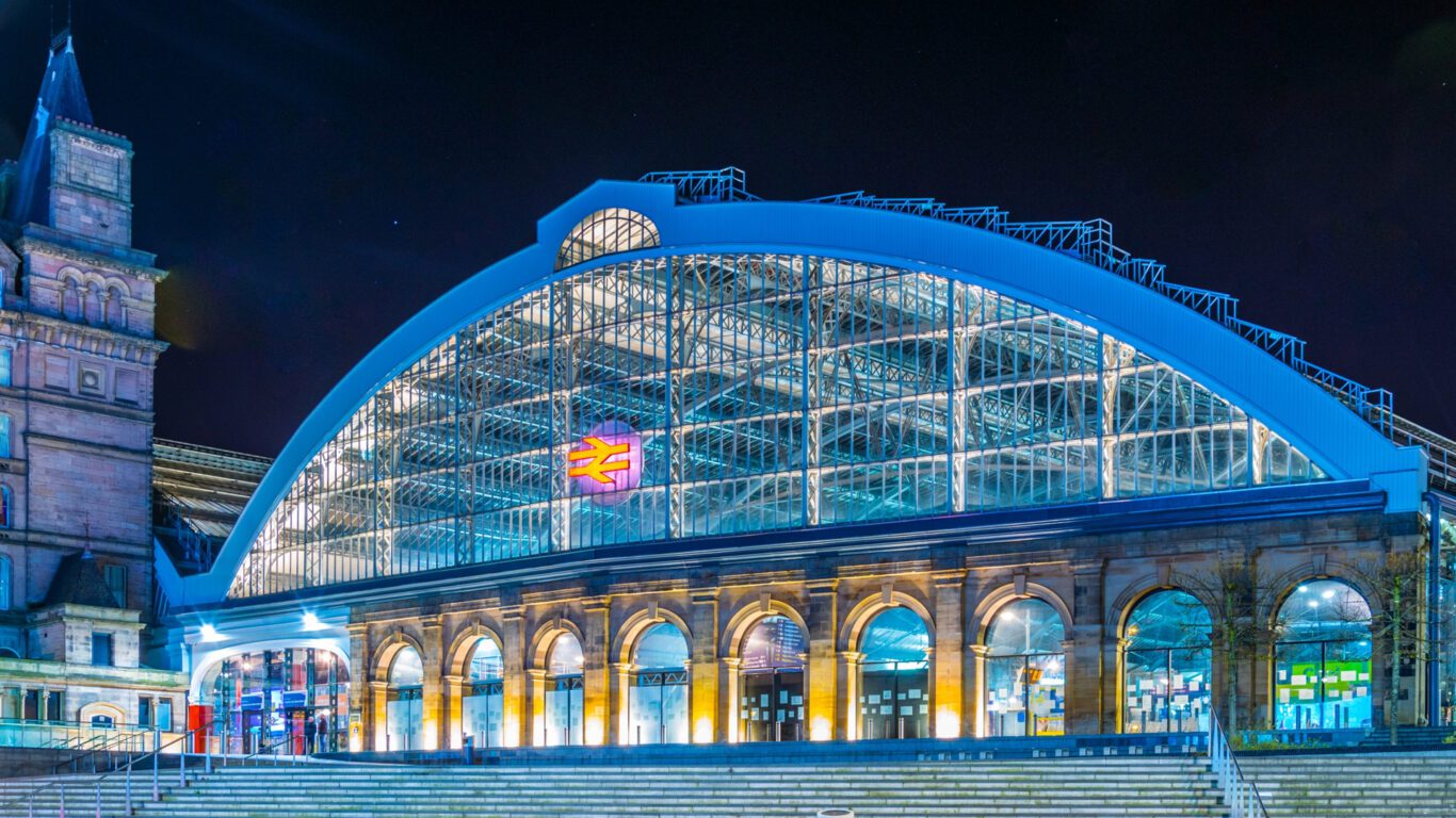
Following the success of the pilot installation in Manchester – the project moved on to similarly large car park sites in Letchworth Garden City, London Paddington and Dartford. It then progressed to other car parks at sites including Uckfield, Chislehurst, London Waterloo, London Victoria, Liverpool Lime Street, Clapham Junction, Whitstable, Birmingham New Street and Milton Keynes – all supported by topographic and utilities surveys conducted on-site by our expert team.
In total, 13 Network Rail car parks were surveyed and successfully installed with EV charging points – providing energy to thousands of electric vehicles every single day. The client was very satisfied with the high standard of detailed design works produced for the project.
“CADS quickly and accurately delivered all the survey data required to analyse the Network Rail car park sites so Poise could make informed decisions on the design and layout of the EV charging installations.”
Mark Johnson
National Accounts Manager – CADS.
We deliver surveying services for clients across the UK.
Laser scan and 3D Revit model created to engineering tolerances of Heath Town footbridge, as part of the council's residential regeneration programme
Read this case study
Our expert surveying team were appointed by Pick Everard to provide land surveying services at the Western Way urban redevelopment in Suffolk.
Read this case study
Surveying project providing information for a large UK utility provider's energy efficiency upgrade programme, helping the UK's first major transport operator switch to 100% renewable energy.
Read this case study