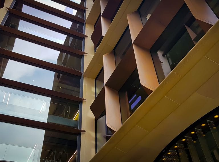
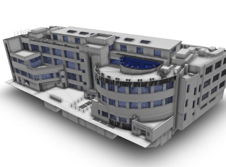
Get accurate results with our 3D laser and point cloud surveys
Our highly experienced surveyors will conduct 3D laser or point cloud surveys to ensure you have all the spatial information and 3D modelling you need.
Laser surveysStructural steel fabrication company Nusteel approached CADS to laser scan Heath Town footbridge in Wolverhampton.
The survey was required as part of a residential regeneration programme by the Council which involved removing a section of the existing pedestrian bridge and joining the two retained structures together.
Nusteel required a highly accurate measured survey of the structure already in situ, specifically the end of the structures where the new bridge parts would abut the existing. This was the first time the CADS survey team had worked with an engineering company on a civils project.
Deliverables included an HD 3D model and point cloud data file which Nusteel used to produce a detailed design, calculation and loadings to fabricate a new bridge connection.
David Harrison, Design and Drawing Office Manager, Nusteel Structures:
“The model is very impressive and we can now be more confident with on-site works”
Working with specialist joinery contractor TMJ Interiors, CADS coordinated the project designs of all 70 contractors to create a federated Revit® model
Read case study All Case StudiesThe model is very impressive and we can now be more confident with on-site works
Talk with one of our experts
Our highly experienced surveyors will conduct 3D laser or point cloud surveys to ensure you have all the spatial information and 3D modelling you need.
Laser surveysReceive highly accurate Revit® building models which ensure the success of your BIM (Building Information Model) project.
3D Revit® modelling