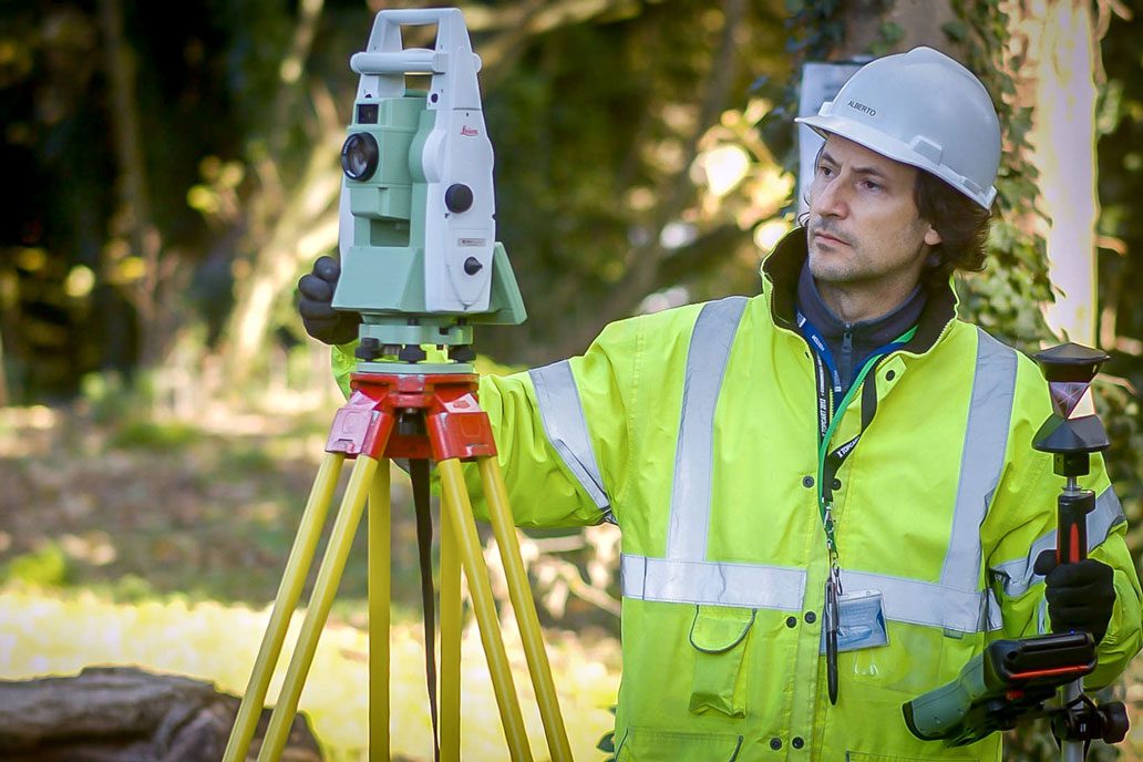
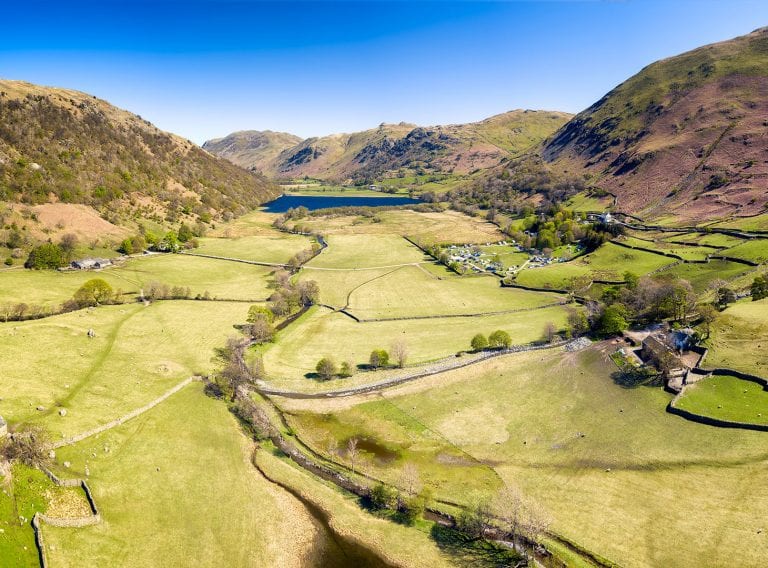
Capturing survey data for a large-scale project
With a challenging time schedule over three and a half weeks, our team used Leica laser scanners to quickly and efficiently capture the existing building structures.
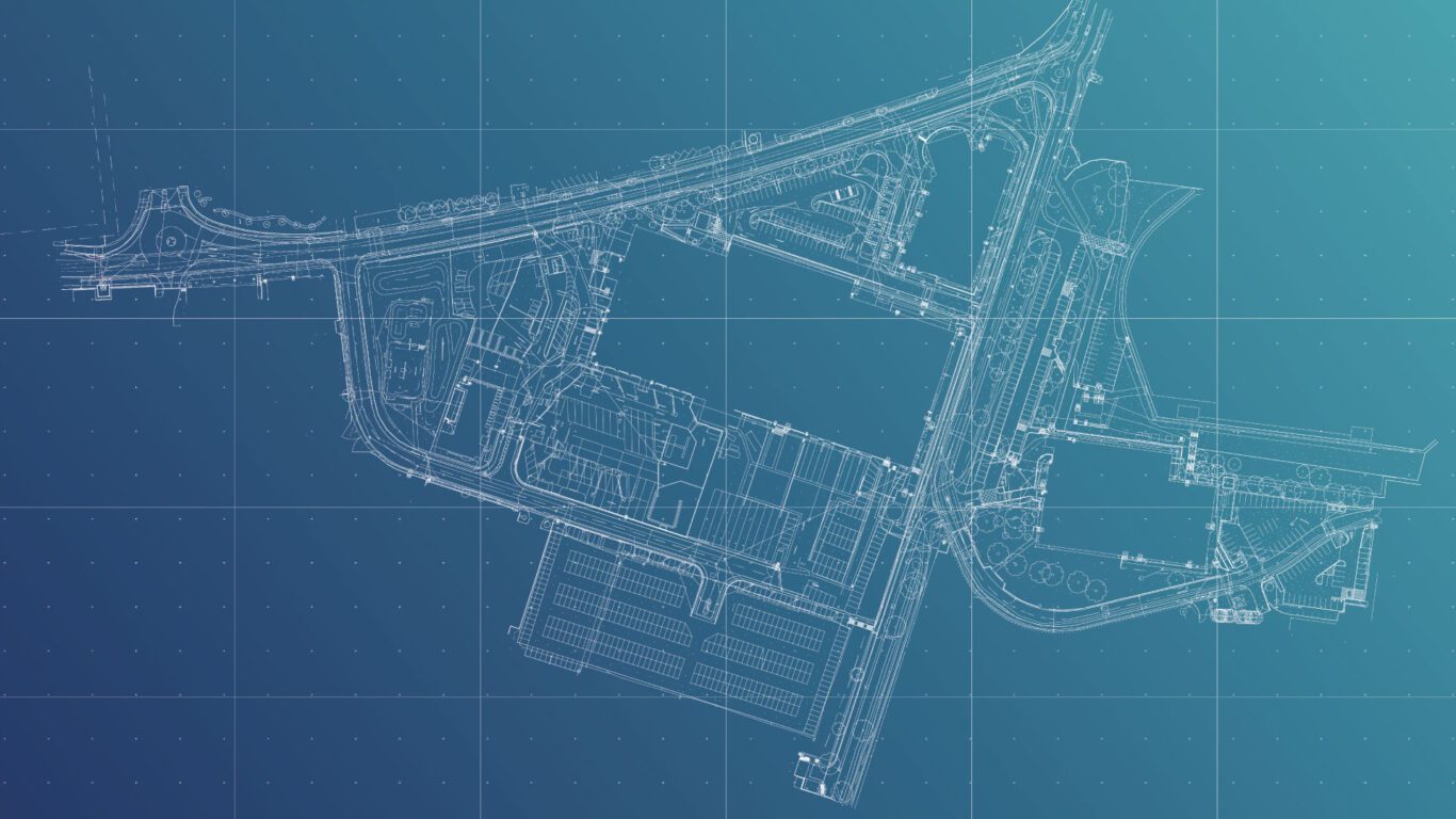
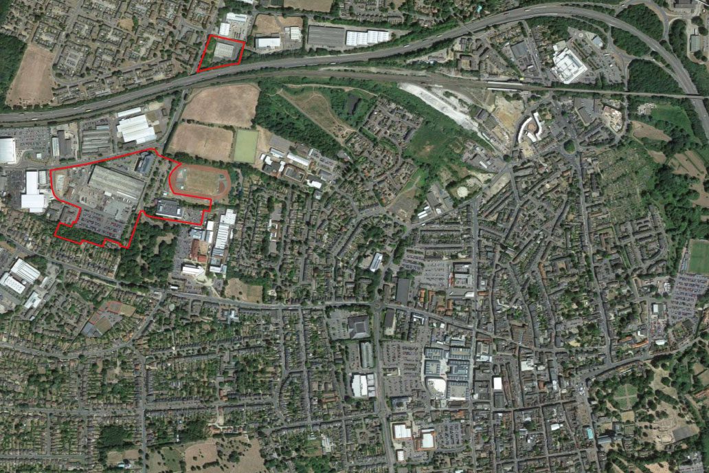
The topographic data was captured using laser theodolite, to accurately locate and record all site features including the site boundaries, ground levels, existing structures, internal building floor levels, footpaths, hardstanding, roads, and road markings.
The survey scope also captured detailed features including road edges, kerbs, walls, fences, gates and barriers, mature trees, overhead cables, visible services, drainage, and the terrain. The data was also georeferenced to British National Grid Coordinated system.