GIS & asset mapping
We provide cost and efficiency saving in asset management by helping clients create, maintain, update and analyse asset information within a Geographic Information System (GIS).
GIS & asset mapping
Over an eight-year period, CADS created and cleansed various datasets for Natural England providing up-to-date, accurate and useful information on which decisions and policies could be made.
Scroll

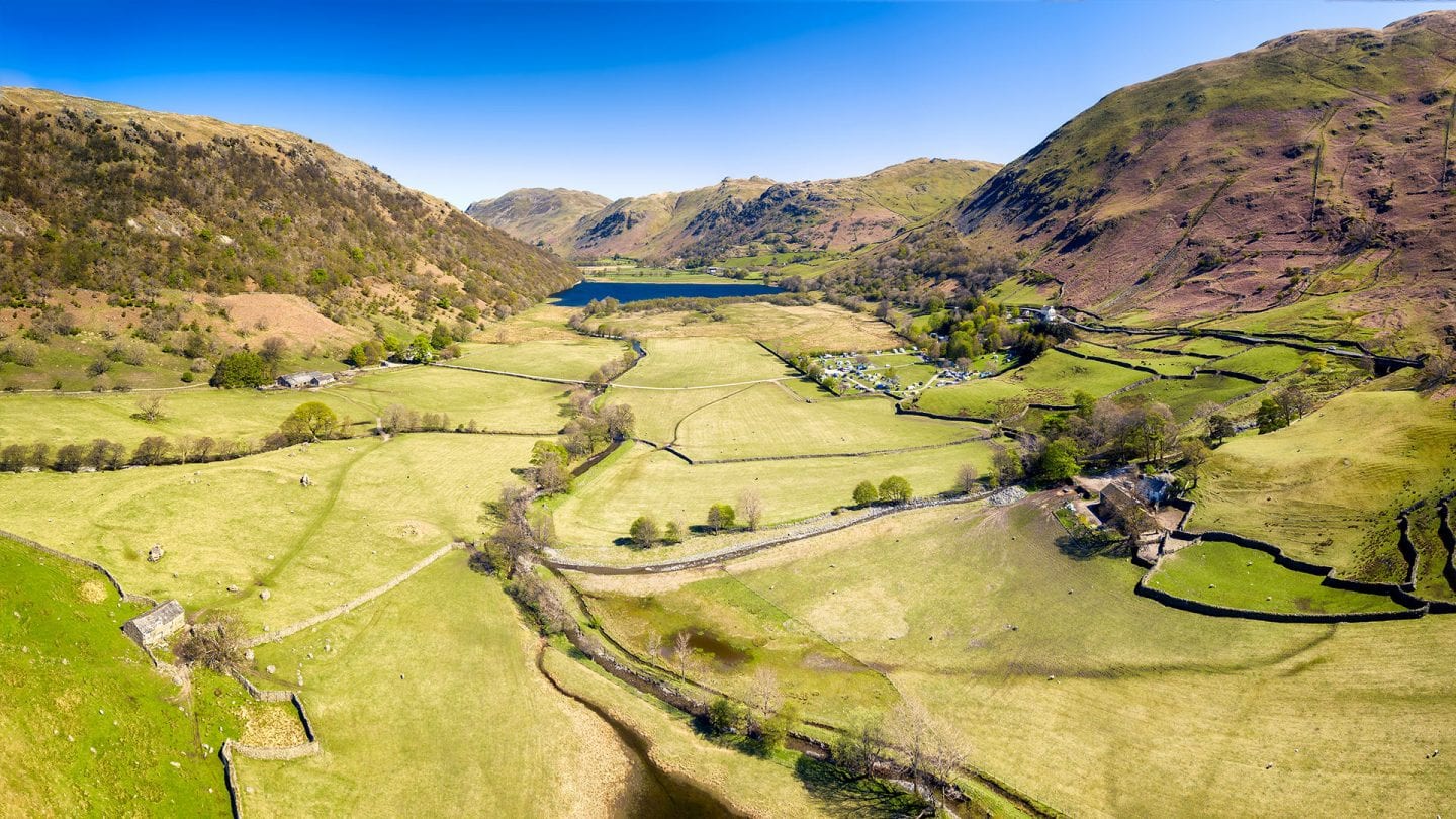
Natural England is a public body sponsored by the Department for Environment, Food and Rural Affairs. It’s the Government’s adviser for the natural environment in England, helping to protect the nature and the environment.
Over an eight-year period, CADS created and cleansed various datasets for Natural England providing up-to-date, accurate and useful information on which decisions and policies can be made. The most recent project was to create a soil sample dataset.
Using historic soil sample data, supplied in a variety of formats including reports, PDF maps and CSV files, we created a GIS dataset.
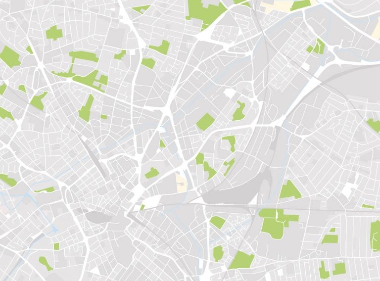
Using a base map we geo-referenced the locations of two soil sample datasets. One showing the ‘location of auger sample points’ and the second showing ‘soil pits’.
We have previously geo-referenced local authority maps from scanned images of historic information for our client, on behalf of a Local Authority.
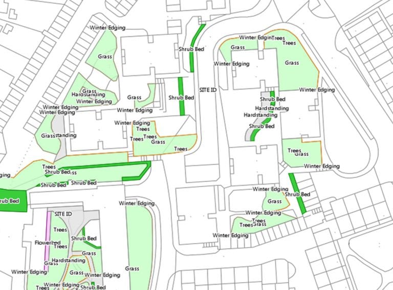
Compiling the grounds maintenance dataset on 778 individual properties to aid the tender process.
Read case studyWorking for Natural England, the ‘location of auger sample points’ had to be digitised from numerous CSV files into one dataset containing all 1,591 Agricultural Land Classification.
The ‘location of auger sample points’ had to be digitised from numerous CSV files into one dataset containing all 1,591 Agricultural Land Classification. Where there was additional information about the soil samples these were attached as attributes to the dataset so Natural England could easily access and reference. The process took four weeks.
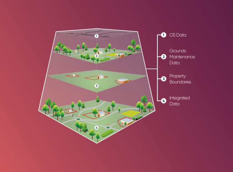
The datasets were supplied as two ESRI shapefiles (geospatial vector formats) one for the auger sample points and one for the soil pits.
Talk with one of our experts
We provide cost and efficiency saving in asset management by helping clients create, maintain, update and analyse asset information within a Geographic Information System (GIS).
GIS & asset mapping
Working on complex projects or multiple locations, our measured surveyors work across the UK and internationally.
Measured surveys
For your development project, receive accurate topographic surveys from our experts mapping the site, its features and topography.
Topographical surveys