GIS & asset mapping
We provide cost and efficiency saving in asset management by helping clients create, maintain, update and analyse asset information within a Geographic Information System (GIS).
GIS & asset mapping
Delivering data for grounds maintenance, CADS is appointed on National Grounds Maintenance Framework by public procurement company Fusion21
Scroll
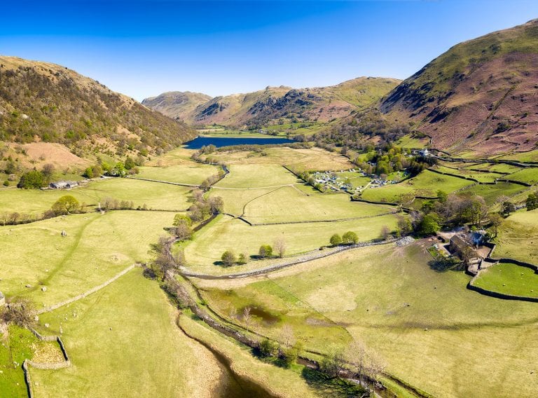
CADS has been appointed to Fusion21 Framework to supply data for grounds maintenance companies. The framework, worth up to £85 million, has been specially designed to meet the needs of its Local Authority, Education and Housing Association Members. These Grounds Maintenance companies provide a range of services including grass and hedge cutting, weed control and arboreal maintenance.
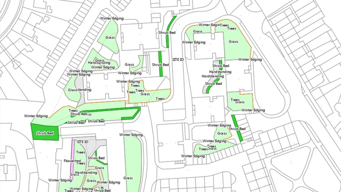
Fusion21 identified the importance that Geographic Information Systems (GIS) plays in managing, presenting and sharing locational information relating to the management of grounds maintenance and therefore appointed CADS as the GIS supplier under Lot 4 of the framework. The services to be provided by CADS include accurate site measurement and the preparation of data into appropriate cartographic or GIS data products.
Under the framework, Fusion 21 Members can benefit from working alongside (GIS) providers who can assist with capturing, updating and analysing map data used to manage large grounds maintenance portfolios.
Mark Johnson, National Account Manager at CADS:
“We are pleased to have been selected as a provider on this framework reflecting our specialist knowledge and extensive experience in measured surveying and GIS.”
Phil Woodhead, Category Manager (Compliance) at Fusion21, said that the framework provides Members with:
“A comprehensive offer, this framework will support improvement and maintenance works for outdoor spaces of any scale across the UK.”
“When accessing this framework Fusion21 members will benefit from greater efficiency savings in addition to working with pre-qualified and accredited supply partners.
Create, maintain, update and analyse your asset information with our expert GIS & asset mapping services.
GIS & asset mapping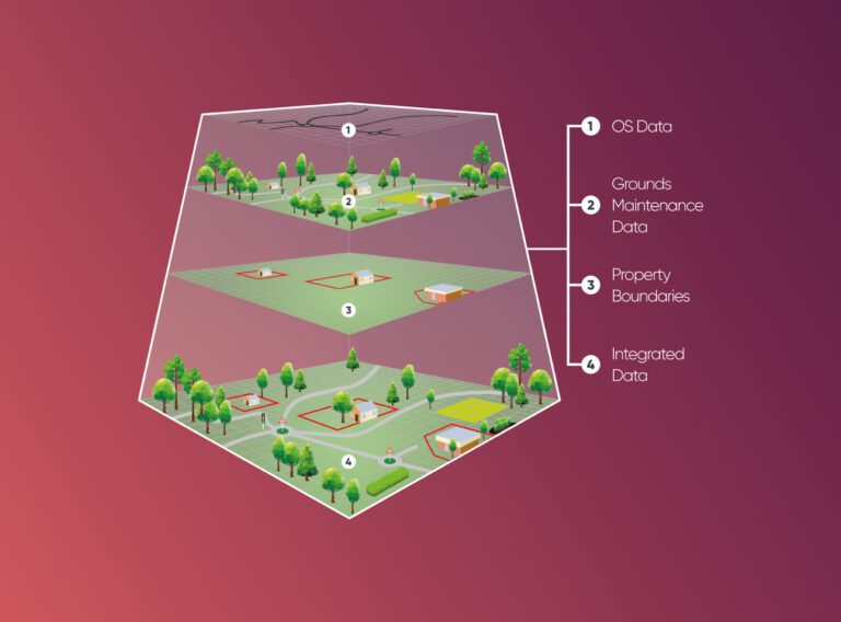
We provide cost and efficiency saving in asset management by helping clients create, maintain, update and analyse asset information within a Geographic Information System (GIS).
GIS & asset mapping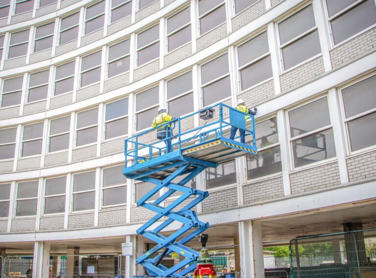
Working on complex projects or multiple locations, our measured surveyors work across the UK and internationally.
Measured surveys