Get accurate results with our 3D laser and point cloud surveys
Our highly experienced surveyors will conduct 3D laser or point cloud surveys to ensure you have all the spatial information and 3D modelling you need.
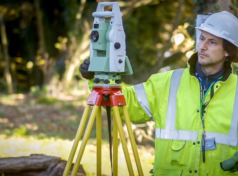
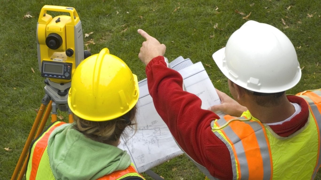
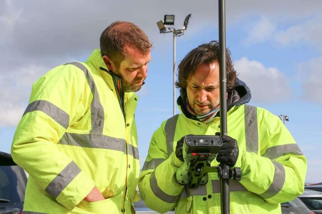
Laser surveys
Read our Top 10 Tips on commissioning a laser survey and Revit model and make sure you don't make costly mistakes and avoid the common pitfalls
Scroll
There are a number of essentials aspects to take into account when you are commissioning a laser survey and 3D Revit Model – particularly when it is for a large estate or site.
Costly mistakes can easily be made, particularly when time is of the essence, and a tender package needs to be issued. But fear not, based on the CADS Survey team’s recent experience, we have compiled our laser survey commissioning tips, to make sure you have all your bases covered.
What stage is your project currently at and what are the immediate and future requirements for the use of 3d model?
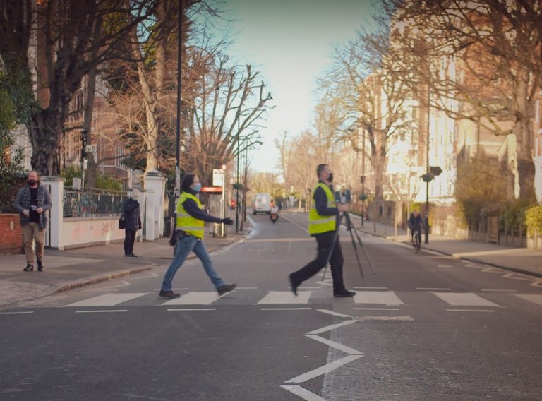
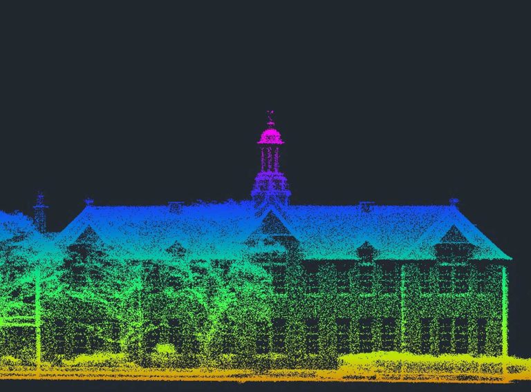
During a single visit the laser scanners are able to capture high quality, measured and photographic records which are required by clients not only for design and project purposes but also typically to document the existing asset, particularly for listed/ heritage buildings. Using a laser scan you can capture all data you may require at the outset of the project.

Does it support your needs and requirements and what gaps are in the data? Can existing survey and drawing data be reused and what updates and verifications are required? Can this existing data assist in briefing a new survey?
This may appear obvious but costly return visits to site are all too frequently required to capture further information. Details about the building or its relationship with adjacent structures that were missed in the brief for the original survey.
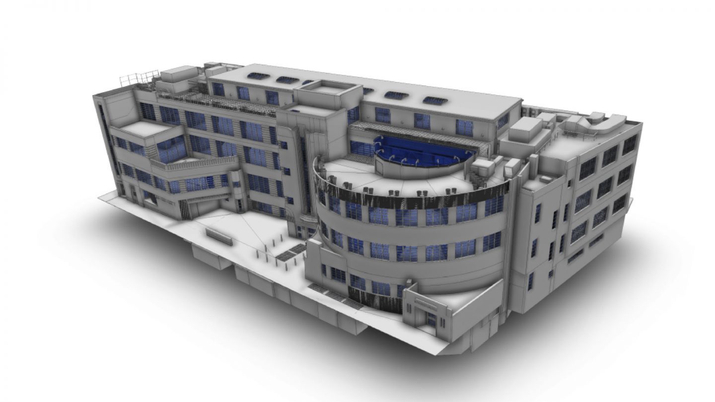
Specifying an appropriate level of detail is important when developing 2D drawings or a 3D BIM model depending on how the information is going to be used, and this needs to be defined at the outset as this informs the survey specification.
Where high level detail is required within the ultimate model, the laser scanning resolution needs to be increased which increases the time spent surveying and the ultimately the cost. This higher detail also increases the time spent producing the survey model.
Taking the time at the start to review your project requirements thoroughly can ensure you focus on increased detail where needed, and reducing the LOD when not.
Get the data you need for your project – in the right format, at the right level of detail.
Laser SurveysThis is essential and ensures that the survey model and drawings will be fit for purpose. Engineering setting out requirements will necessarily require a higher standard of accuracy and control than a general asset management model from which no design will be made. Where co-ordinates are required you need to be clear which geospatial reference system these should relate to.
For instance with laser scanning the point cloud is part of the required deliverable or access to a point cloud can be arranged via Webshare. Where a topographic survey is included you need to decide whether you want traditional 2D drawings linked to the 3D model or for the data to be modelled in 3D. Making a decision early on about the deliverables, will often provide savings in cost and time; and they will certainly cost more if you add.
When the initial results of your survey are only required for a feasibility study, but further detail will be required if you decide to proceed with your project, a staged delivery is worth considering.
Requesting early delivery of a basic model or floor plans could help you to assess the feasibility of the project quickly and at a lower cost. However if you request that the site data is captured at the outset for the eventuality of a full model being produced if needed, you will ensure cost savings through not needing to revisit the site.
It is important to ensure that the survey will be commissioned in formats compatible with yours and your supply chain’s systems.
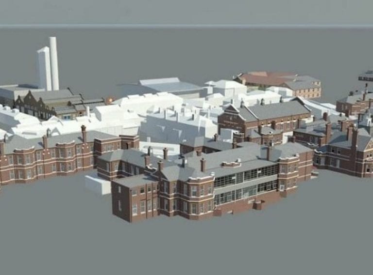
Large detailed survey models can result in large file sizes – we are talking 10s of Gigabites. For example the files for our recent Goodmayes Hospital Project amounted to 15 GB, even though it was only a LOD2 detail internally. These files cannot be delivered by usual means as traditional AutoCAD drawings.
Point Clouds also generate particularly large file sizes which cause problems in delivery and storage. Looking again at the Goodmayes project, we had to deliver the point cloud in subdivided sections as the complete Point Cloud was 390 GB in size.
If the potential size of files is considered at the outset, alternative options can be considered. You could consider capturing parts of your survey in black and white rather than colour to reduce the size of the Point Cloud.
It is also important to specifying the delivery format for your models again at the outset. For example BIM projects survey models in IFC format may be required for common data environments.
While it is tempting to capture as much detail as possible there is little point in spending additional time and money for a survey which exceeds your requirement (and no doubt budget) on the one hand, as much as falling short in briefing the surveyor and having to instruct costly return visits and subsequent delays on the other. Carefully consider the requirements at the outset.
Look for a company that will take the time to discuss your project in detail, challenge your assumptions and question your brief and ensure they understand your ultimate delivery requirements. If you think the quote is too good to be true, then it probably is.
We do hope you have found our laser survey commissioning tips useful and if you’d like to take a look at some of our recent laser survey projects, please use the links on the side of the page.
Our highly experienced surveyors will conduct 3D laser or point cloud surveys to ensure you have all the spatial information and 3D modelling you need.
Laser surveys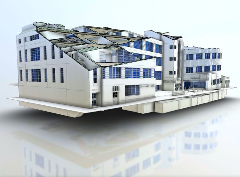
Receive highly accurate Revit® building models which ensure the success of your BIM (Building Information Model) project.
Revit models