Get accurate results with our 3D laser and point cloud surveys
Our highly experienced surveyors will conduct 3D laser or point cloud surveys to ensure you have all the spatial information and 3D modelling you need.
Laser surveys
Survey project delivery during the Coronavirus lock down is about data processing of the laser scan data with your project team working virtually
Scroll

In explaining that we had already captured all of the site data we required to prepare the 3D model the previous day it became clear that his perception was that our activity was largely site based. While this is still true for our engineering and setting-out surveyors, there has been a digital revolution in the way we capture, prepare and deliver our surveys. I have spent over 30 years in design, architecture, construction and surveying and the pace of technological change in the past 5 years has been quite staggering and shows no signs of slowing down.
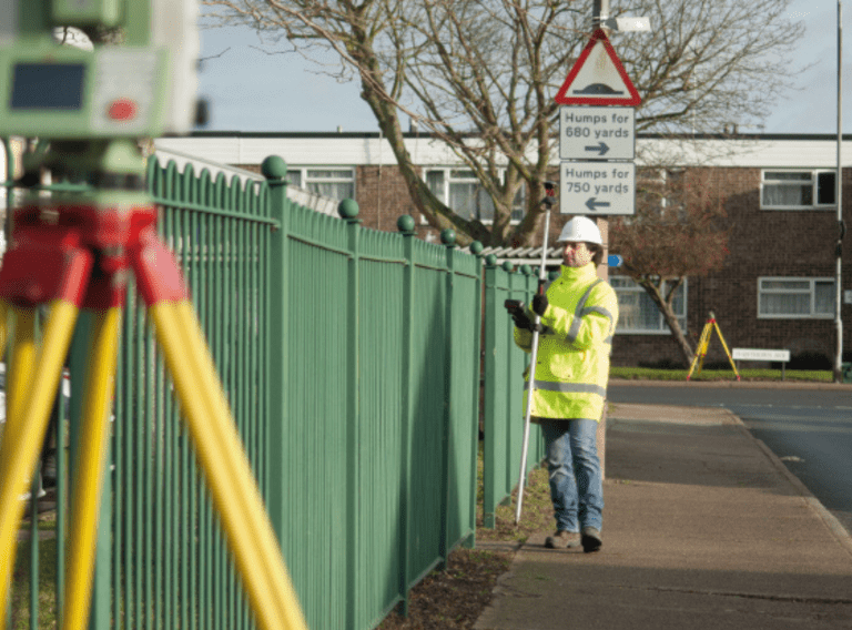
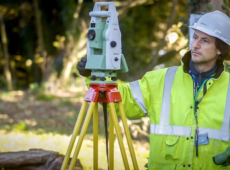
The adoption of laser scanning to capture site data has reduced the time required on site from weeks to days, improved dimensional accuracy and enabled the sharing of vital data to all stakeholders simultaneously. In reality the majority of our work is now virtual and remote from site. The large amounts of data reduces the need for return visits to a minimum.
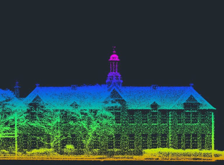
Approached by the new owner of this iconic 1931 Art Deco classic in Camden, CADS responded quickly delivering an accurate measured listed building survey to facilitate the internal redesign.
Read case studyThe emergence of new technologies such as drones for data capture using video and photometric data are constantly improving and are being integrated with other methodologies to provide a wider range of services that were traditionally separate disciplines. The successful integration of these new technologies combining GIS, cartography, geospatial, topographic, below ground utilities, conditional and measurement surveys with ever increasing levels of data integration will continue to change our traditional role.
So it is perhaps my responsibility to communicate this message to our clients so that they can better understand the opportunities that these new ways of working can offer them.
The biggest change is that rather than working in isolation we are now an integral part of the clients design team working in close collaboration with the professionals to understand their specific requirements and tailor the product to the precise level of information that they need to perform their role.
Our role therefore has increasingly become that of a data manager capturing, collating and distributing accurate reliable information in digital form.
Our highly experienced surveyors will conduct 3D laser or point cloud surveys to ensure you have all the spatial information and 3D modelling you need.
Laser surveys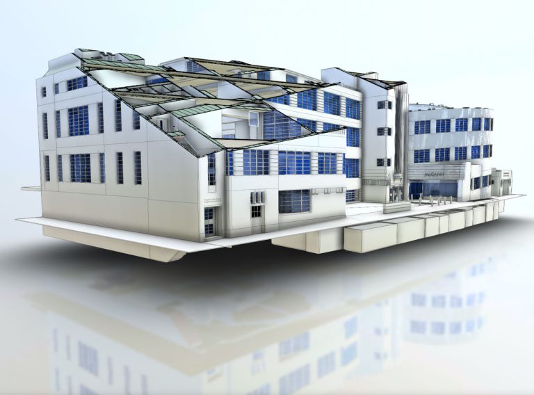
Receive highly accurate Revit® building models which ensure the success of your BIM (Building Information Model) project.
Revit models