Get accurate results with our 3D laser and point cloud surveys
Our highly experienced surveyors will conduct 3D laser or point cloud surveys to ensure you have all the spatial information and 3D modelling you need.
Laser surveys
From uneven walls and floors to UAV Drones, we look at the complexities of surveying historical buildings for renovation or maintenance.
Scroll

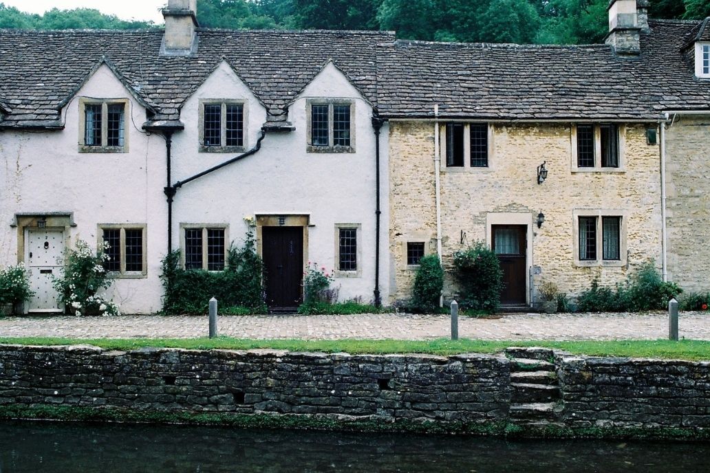
There are around 400,000 listed buildings in England. Just 2.5% are Grade I, 5.8% are Grade II* and over 90% are Grade II. This listed building certification can make changing a property either structurally or in use incredibly difficult as planning permission can be near impossible to obtain. That’s why accurate survey data is so important, it could be the difference between a project being accepted or declined. Inaccurate data can cause project delays and cause planning permission to be delayed or reassessed if there’s a lack of faith in the data especially when the Listed certification strictly controls what can and can’t be done to the property.
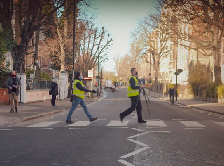
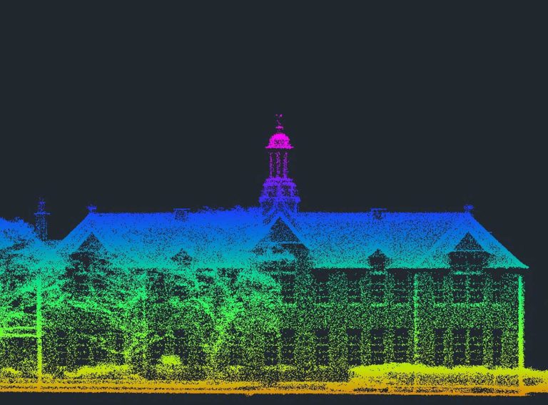
Jamie McColl, CADS Senior Surveyor was trained by English Heritage to survey heritage buildings including using laser scanners for 3D models and using drones for photogrammetry. These advances in technology have made surveying historic buildings accurately much easier. Laser scanners quickly collect millions of data points producing point clouds which are exact 3D replicas of the building in question whereas older, traditional surveying methods like a tape measure and a laser measure (Disto) do not offer this level of accuracy.
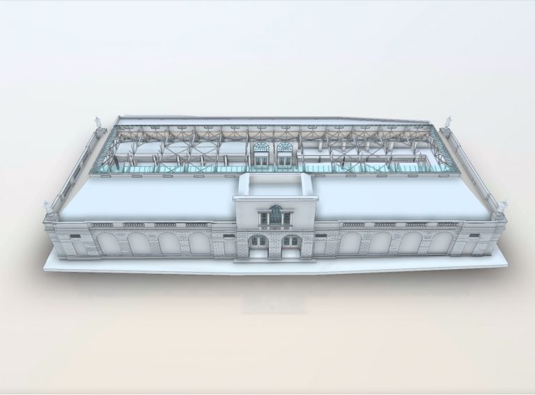
Back in 2014, we had the privilege of providing heritage building survey services to Eling Tide Mill in Southampton. The survey drawings were required to secure Heritage Lottery funding to maintain the existing building, extend the heritage centre as well as adding a learning centre and cafe. During the initial site visit, it was instantly apparent that a traditional survey was not going to be sufficient to capture the level of detail required.
We therefore recommended using our laser scanner to capture the sites’ intricate details and create the 2D CAD plans from the point cloud model. The output was 2D CAD plans for the client. This ensured the client successfully secured the necessary funds from the Heritage Lottery Fund to enable them to start planning the learning centre and cafe.
More recently, we completed a historical building survey of The Old Bell Hotel in Norwich as part of our ongoing work with Santander on their estate. The building is over 400 years old. For this project, we used a laser scanner to capture a vast amount of data, enabling greater accuracy of the drawings.
Get the precise data you need to complete your next complex project.
Measured Building SurveysSurveyors can encounter a number of challenges when surveying historical buildings. The age of the building often means the rooms are anything but square as the walls move over the years and can be leaning at odd angles with even the wall widths varying. These details make the surveyor’s job more complicated.
Normally a surveyor picks a specific height and measures all around the room at that height, but this is not always possible in a historical building, particularly when they have uneven floors or ceilings. Historic buildings also often have a lot of bespoke fixtures, for example, doors of different sizes with large door frames. This makes using a laser scan more complex, but the accuracy of the survey increasingly important for the architect when designing the renovation project.
Historic building materials are often fragile and therefore the surveyor must be careful to move around the building cautiously ensuring they do not cause any damage to the site. Being particularly careful when carrying equipment around the site to ensure the building is left in the same condition it was found in. Drones can be used to survey hard to access areas such as the roof and chimneys, but must always be piloted by a professional.
CADS surveyors can help with a variety of different projects, whether that’s maintaining a historical building or renovating it. They are highly skilled professionals who can deliver precise survey data enabling project teams to be informed when making decisions.
Our highly experienced surveyors will conduct 3D laser or point cloud surveys to ensure you have all the spatial information and 3D modelling you need.
Laser surveys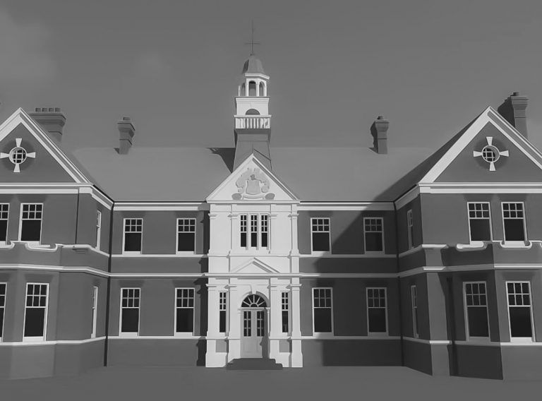
Get detailed and accurate measured building surveys whether your project is in the UK or Europe.
Measured building surveys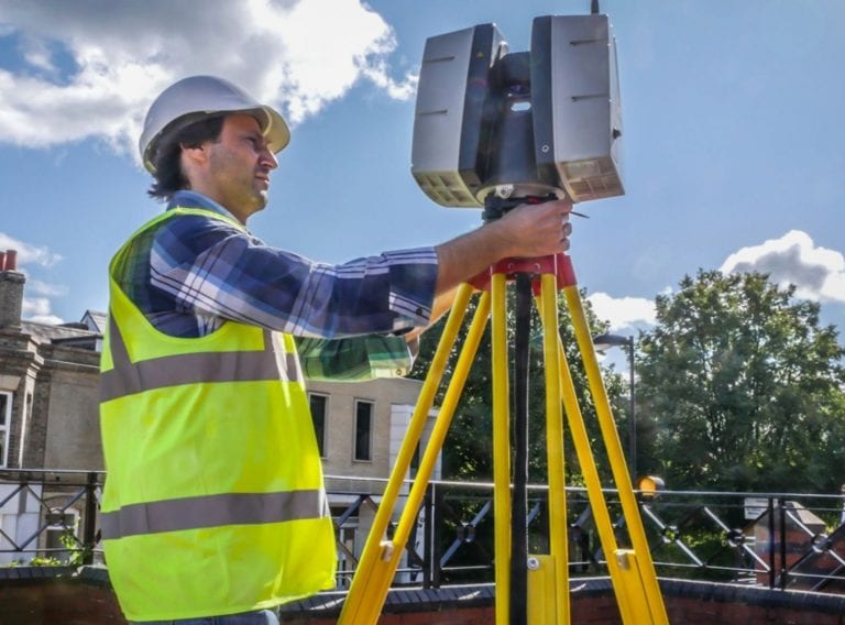 05/06/2020
Insights
05/06/2020
Insights