Drone land surveys
Map the natural physics and features across vast sites with a fast and cost-effective UAV drone survey from CADS.
Drone land surveys
As a leading supplier of surveying solutions for a wide range of projects, we’ve taken a look at the benefits of drone surveys – and how they can help with your project design process.
Scroll
As part of a project team, you’re likely to be involved in all aspects of a building design project.
From facilitating the flow of information between different stakeholders to ensuring the project is delivered within the set time and budget – a project team plays a crucial role.
Drone surveys offer many benefits which allow the project team to quickly and efficiently gather valuable information about a construction site – a vital step in all stages of a building design project.
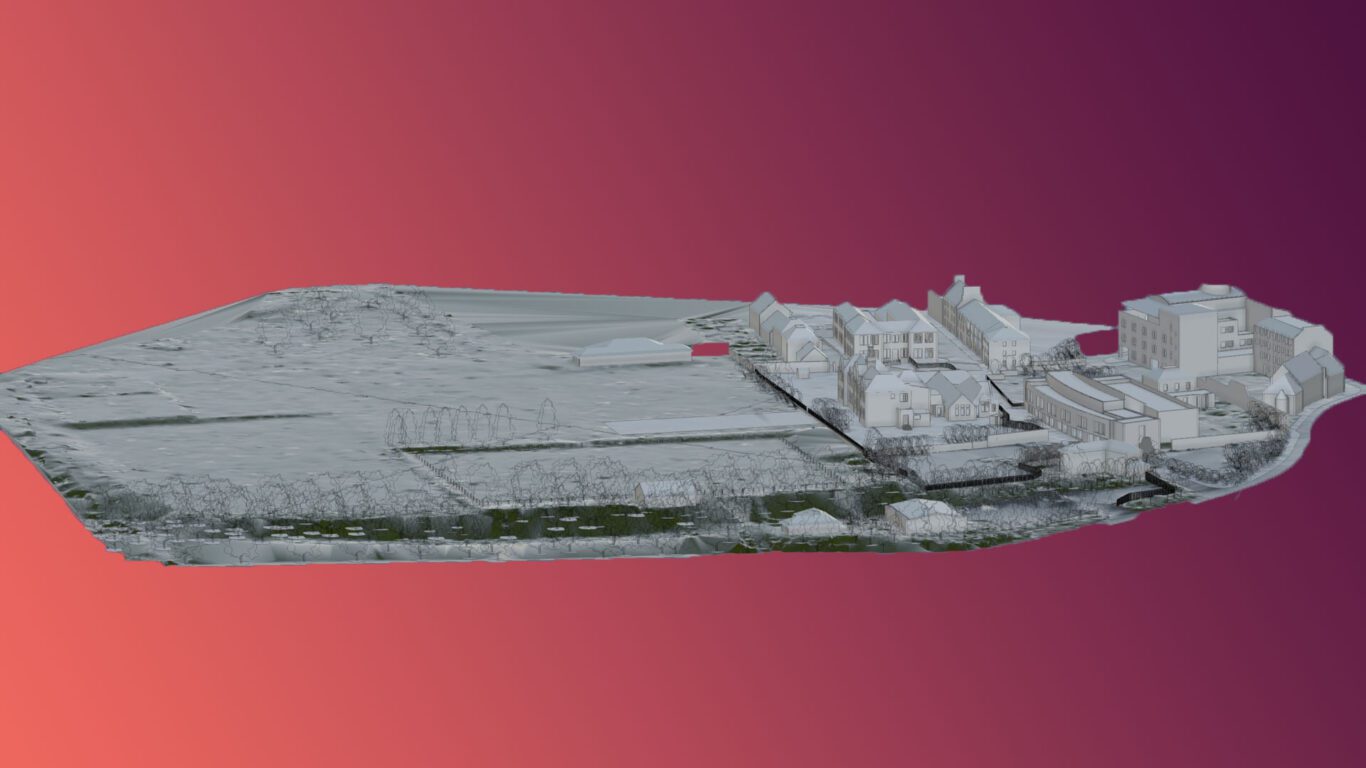
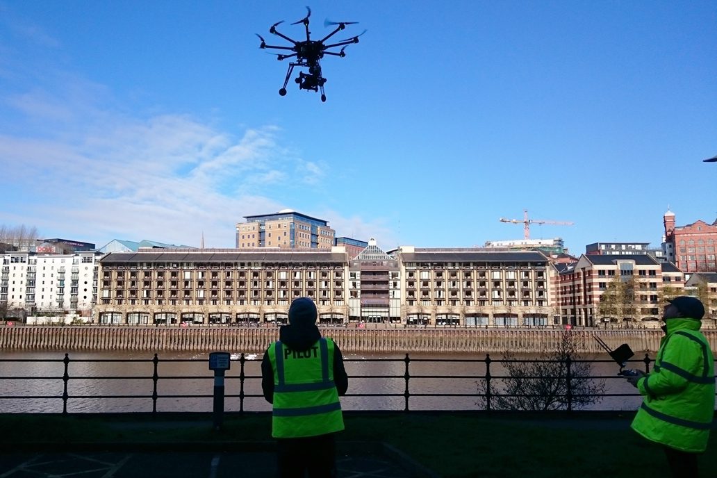
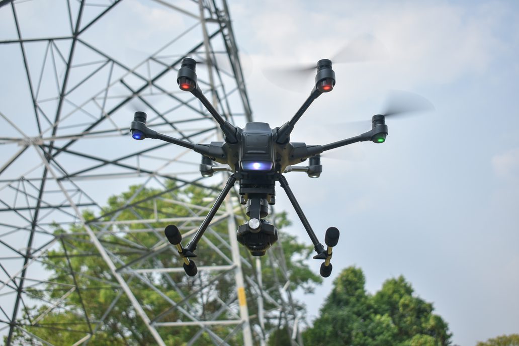
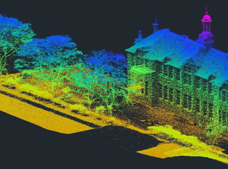
Drone land surveysDrones – or unmanned aerial vehicles (UAVs) – capture dimensionally accurate point cloud data to provide a unique perspective of a project, making them a powerful tool in the mapping and surveying industry.
Using a LiDAR (light detection and ranging) scanner and mounted sensors, they take aerial photographs of land and buildings to create a true digital representation of a physical space.
Suitable for a variety of projects, a drone survey quickly and easily obtains accurate data of both accessible and inaccessible areas without causing too much disruption – and it’s cost effective too!
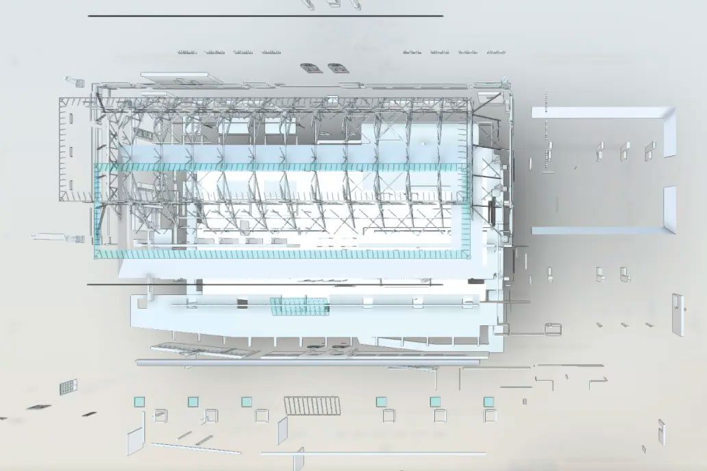
From the data, a wide range of 2D and 3D deliverables, such as 2D topographic drawings and 3D Revit Terrain Models (RTMs), can be created, which makes drone surveys a valuable asset for project teams.
A very versatile surveying solution, project teams may commission a drone survey for:
One – Improves design certainty
Most building projects follow the Royal Institute of British Architects’ (RIBA’s) Plan of Works – a model with defined stages for the design and construction process.
Commissioning a drone survey helps to inform RIBA Stage 1 – Preparation and Briefing, Stage 2 – Concept Design, Stage 3 – Spatial Coordination and Stage 4 – Technical Design.
Drone surveys tend to be commissioned at Stage 0 or Stage 1 and are therefore vital to making strategic decisions, evaluating risks and budget and outlining the scope and scale of the project.
Plus, the survey data which is captured at Stages 0 and 1 will aid the concept design stage, paving the way for project teams to move their design through the remaining stages to completion.
So, if a project is following RIBA’s Plan of Works, a drone survey at the start of the process is vital for the design process and beyond.
Two – Accurate and reliable information
Drone surveys enable highly accurate mapping and measurement of civil construction sites.
They produce reliable information from scan through to BIM and 3D Revit modelling, which helps to:
Keeping to a set time and budget is critical as a project team, making the quick, accurate and reliable data delivered by drone surveys so beneficial!
Three – Efficient data collection
Using a drone for a land survey is a quick and easy way to obtain data.
As drones are equipped with various sensors, such as thermal cameras or LiDAR, they can capture a significant amount of aerial data in a short amount of time.
This speedy data capture means drone surveys can be completed within a few hours, even on larger sites.
This efficiency allows you to gather comprehensive information about your construction site quickly, providing early access to reliable project insights.
Backed by over 35 years’ experience, we’re a leading supplier of surveying services across the UK and internationally.
Here at CADS, our aerial drone survey team work alongside your construction project team to bring you accurate and reliable data.
So, if you’re part of a project team and looking for a drone survey – or another survey from our extensive offering – get in touch today!
Get in touch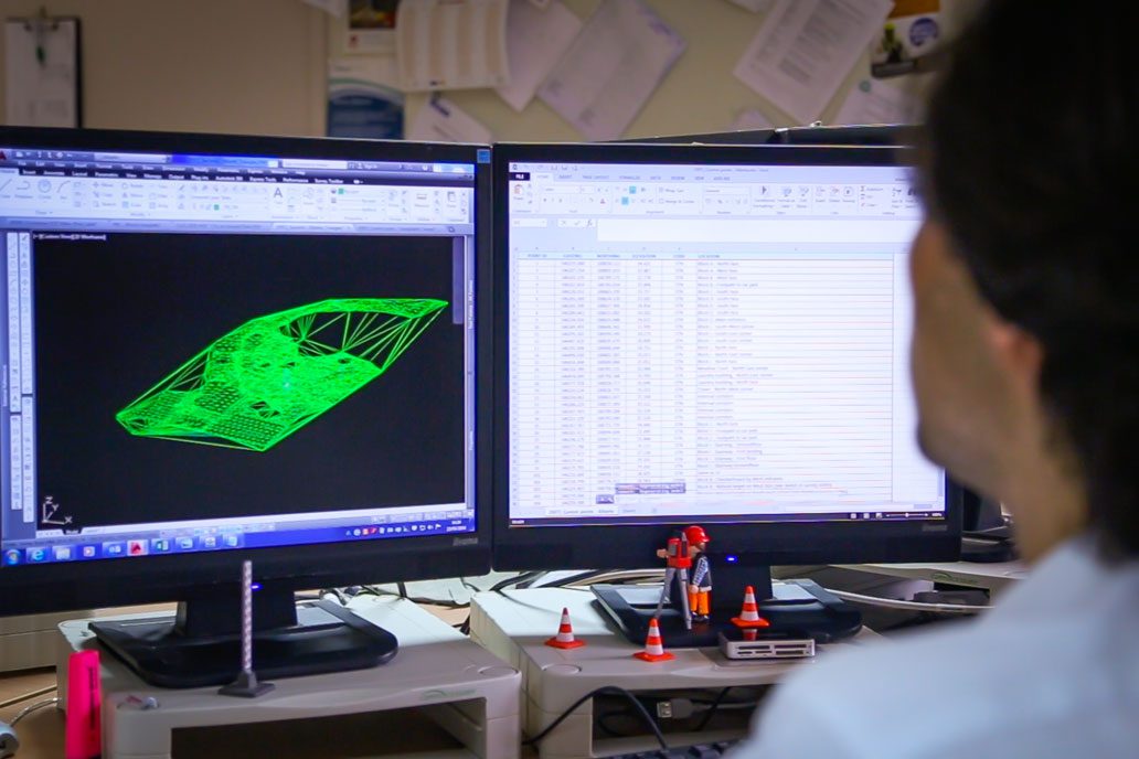
Map the natural physics and features across vast sites with a fast and cost-effective UAV drone survey from CADS.
Drone land surveys