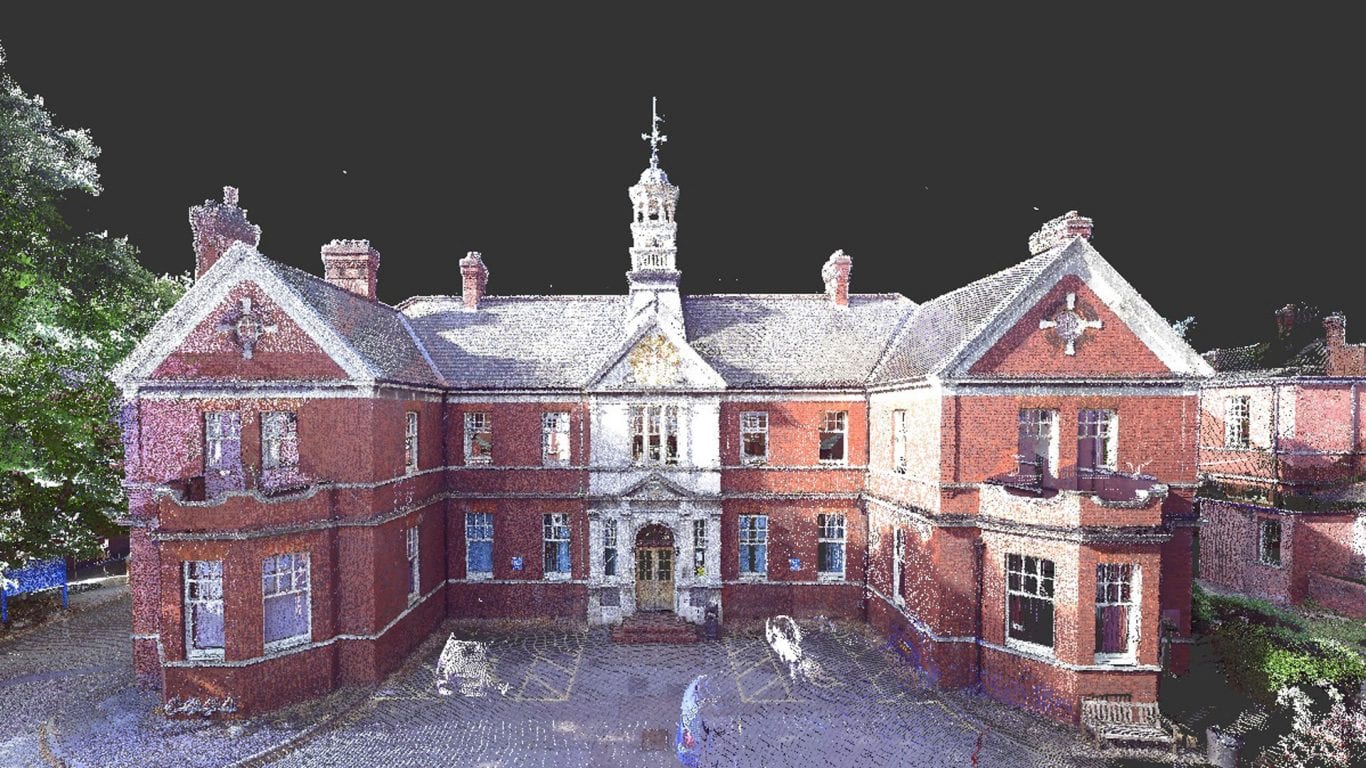
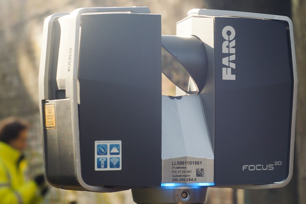
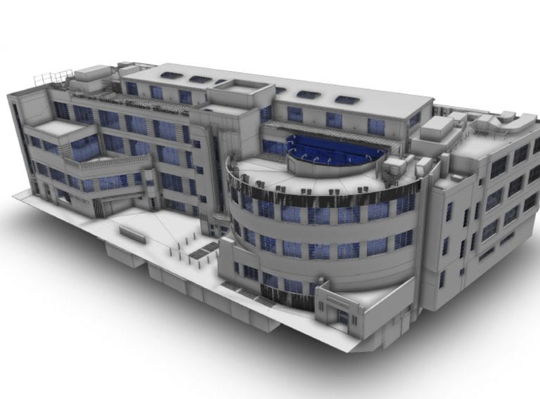
We employed CADS Survey team on this complex and sensitive project because of their technical knowledge and professionalism. The project required the integration of laser captured point cloud data and hand measured data to create the 3D model and CADS delivered this within the agreed timescale and budget.
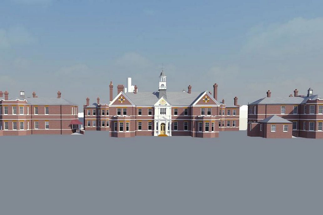
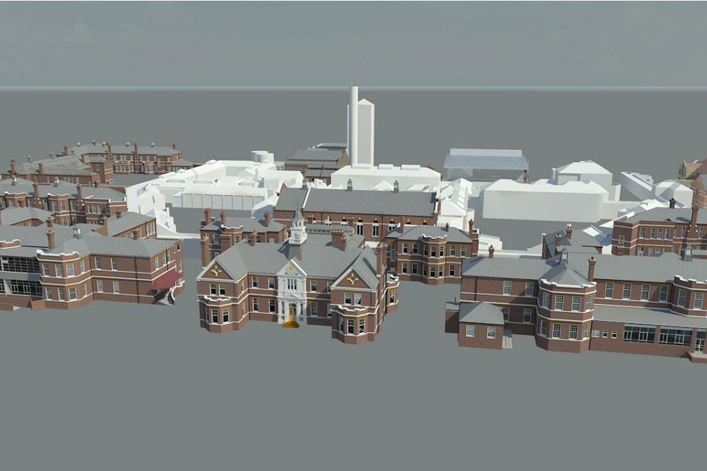
While we had to allow an additional 30% in the budget for the delivery of the 3D model over the 2D drawings, this has delivered significant value to this project, particularly where we have been able to make fully informed design decisions not only on the location of buildings but also on the impact on the facade and view.
CADS took a very consultative approach to the project, fine tuning the specification for the model to ensure we were able to swiftly integrate it into our design process once it was released and we have been delighted with the result.